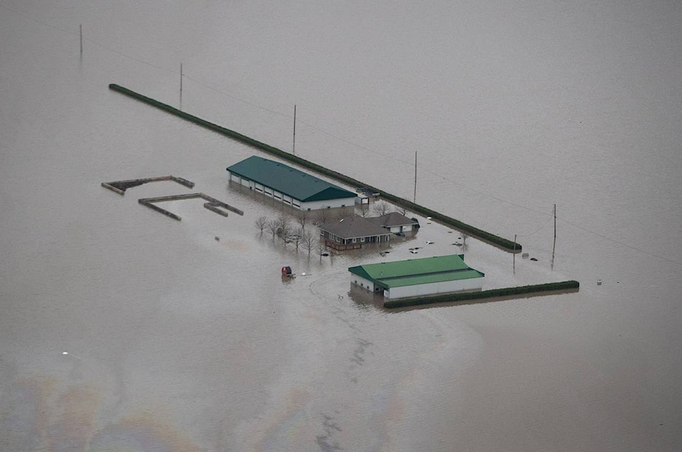
The city of Prince George is the latest to feel the lash of torrential downpours linked to ongoing unsettled weather across British Columbia.
Environment Canada is reporting about six millimetres of rain fell at the Prince George airport Tuesday, but doesn’t mention the localized, intense thunderstorm that deluged the city’s downtown core, flooding several streets.
A similar downpour forced officials in Penticton to briefly declare a local state of emergency on Monday as a sudden rainstorm over that Okanagan city caused flash flooding and prompted the evacuation of 16 properties.
The River Forecast Centre has since downgraded Mission Creek from a flood watch to a high streamflow advisory as levels of that Kelowna-area waterway subside, but advisories remain posted across most of southeastern and southern B.C., including the Fraser River from Quesnel to the ocean.
Flood watches cover sections of the Thompson, South Thompson, Chilcotin and Nechako rivers and a flood warning is still up for parts of the Quesnel River near Quesnel.
Environment Canada is calling for thundershowers through the day in many B.C. regions and forecasters say that creates the potential for more localized flooding, but exact locations and intensity of rainfall are uncertain.
—The Canadian Press
RELATED: Lightning storms spark dozens of wildfires in Yukon, heat warning issued
