On Wednesday, Aug. 2, Statistics Canada released new census figures which showed that Delta’s population increased by 2.4 per cent since 2011.
But Delta’s population wasn’t the only thing to increase: Delta’s land area increased too, growing 0.09 square kilometres between 2011 and 2016.
The growth of land in Delta isn’t administrative — it’s actually happening. Statistics Canada uses a number of different types of geographic markers to make sure the land area is as accurate as possible.
Related: Delta’s bigger, more dense, more diverse according to latest from Statistics Canada
The first is a census subdivision boundary, which is an administrative area determined by the province. Statistics Canada gathers information based on these predetermined census subdivisions.
Inside the census subdivision is a geographic frame, called a digital boundary file, which for Delta didn’t change between 2011 and 2016. The digital boundary file extends out into bodies of water instead of following the shoreline, making sure that islands are also included in the census.
However, neither the census subdivision or the geographic frame is ideal for determining the actual land area of Delta. To do that, Statistics Canada uses cartographic boundary files, which work with the digital files. The cartographic boundary files erase the boundaries extending into the water, and wrap tightly around the shoreline and offshore islands.
(Statistics canada photo)
This type of file is what Statistics Canada uses to determine the land area, in kilometres squared, for each census subdivision.
But that still begs the question: why did Delta grow?
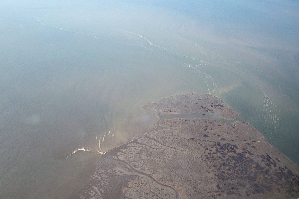
Likely, the growth can be attributed to the accrual of sediment around Westham Island in Ladner and the Tsawwassen ferry terminal. The cartographic boundary files were slightly different in those two areas between 2011 and 2016.
However, this isn’t the first time Delta has seen an increase — or decrease — in its land area on a census. The number has been fluctuating going at least as far back as 1996.
Back then, Delta was only 168.5-km sq., a solid 12.3-km sq. smaller than it is today. That’s because in June 1997, Deltaport opened Terminal 2 and in late 2000 expanded its Pod 3 container facility. Although the total area of the Deltaport expansions isn’t known, it is possible it could accounted for the nine per cent increase in land area — bringing Delta up to 183.78-km sq. in 2001.
Deltaport from a distance. (Grace Kennedy photo)
The area decreased slightly in 2006, down to 183.7-km sq. It’s unclear why, but it is possible that more accurate cartographic boundary files had removed land that was previously thought to have been in Delta.
Delta’s land area decreased again in 2011, going down to 180.11-km sq.. This is because of the 2009 treaty negotiation between the Tsawwassen First Nation, the province of B.C. and Canada, which transferred 3.72-km sq. of provincially-owned Crown land to the Tsawwassen First Nation. That land was formerly under Delta’s jurisdiction and would have been counted as part of the census land area.
In total, the increase or decrease of land in Delta doesn’t represent a significant change in the community — the largest change was with the creation of Deltaport’s Terminal 2.
So even though Delta got bigger between 2011 and 2016, there won’t be any real benefits for the people living with Delta’s increasing population. But by capturing the data, Statistics Canada is capturing the history of Delta, one square kilometre at a time.